Swanzey, New Hampshire is about five miles from Massachusetts and Vermont. Activists are close to saving 29 acres in Swanzey from being paved. The land is along the Ashuelot river. When the deal goes through, dry parts of the land will continue to be used for hay farming. People will plant American elm and silver maple trees on wet parts of the land. “American elms were one of the dominant trees in the Connecticut river valley,” Mark Zankel told the Valley Post in a telephone interview December 14. He is director of the New Hampshire chapter of the Nature Conservancy. “They were killed by Dutch elm disease (between the 1930s and 1960s). We will plant disease-resistant American elms.”
Protecting the Swanzey land will help endangered mussels in the Ashuelot, Zankel said. The deal is being done by his group and by the Monadnock Conservancy.
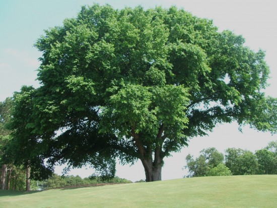
An American elm. photo by ncwildflower.org
A significant share of the money that land trusts use to protect land comes from the government. Politicians decide how much to invest in war and prisons, versus saving land. Another way to save land is to raise taxes on millionaires. Clear cutting forests contributes to climate change as much as all the cars and airplanes in the world.
In the 1990s in northern California, thousands of people attended rallies in favor of saving the ancient Headwaters redwood forest from logging plans by Maxxam Corporation. Hundreds of people were arrested for non-violent, civil disobedience. In 1996, the federal government bought 7,500 acres to create the Headwaters Forest Preserve.
Links to local land trusts are at www.FindALandTrust.org. New homes can be created by converting run-down, drafty single-family homes to energy efficient, multi-family housing. In New York City, rich people live in apartments.
Please click on the below map to make it bigger. The map shows the Connecticut river watershed in Massachusetts, southeast Vermont and southwest New Hampshire. It shows that the vast majority of farmland and forestland is vulnerable to being converted to houses, roads, parking lots, Walmart stores, and similar commercial buildings.
The map was made for the Valley Post earlier this year by the Trust for Public Land. After you click on the map to enlarge it, you can scroll down and click "see full size image." Then click on the map again to enlarge it more. You can see different parts of the map using the arrows on your keyboard.
_0.img_assist_custom-171x205.png)
Post new comment